Motivation#
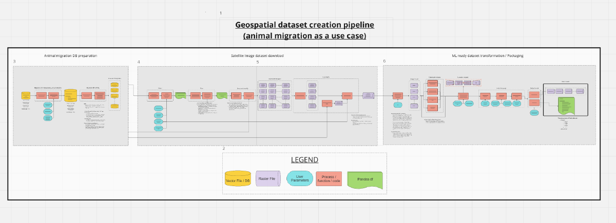
I’m working as an industry expert on a research project at UC Irvine, led by Dr. Nadia Ahmed. Our team is studying how satellite imagery can be used to track animal migration. To help my teammates understand the process of geospatial dataset creation, I created a flowchart. This flowchart gives a clear picture of the steps involved in preparing geospatial datasets for Machine Learning.
Explanation and recording#
I ended up giving an impromptu lecture on it for the team. This included an explanation of my NeurIPS 2023 CCAI tutorial: Automating the creation of LULC datasets for semantic segmentation as well. I have divided the recording into sections for easier viewing. I have put the tutorial recording at the end of the page.
Flowchart#
Keep in mind that the data used in this flowchart is hypothetical, and some abstractions/assumptions were made to make it easier to understand.
I would recommend viewing it in a separate browser window.
P.S - Miro is awesome!


